
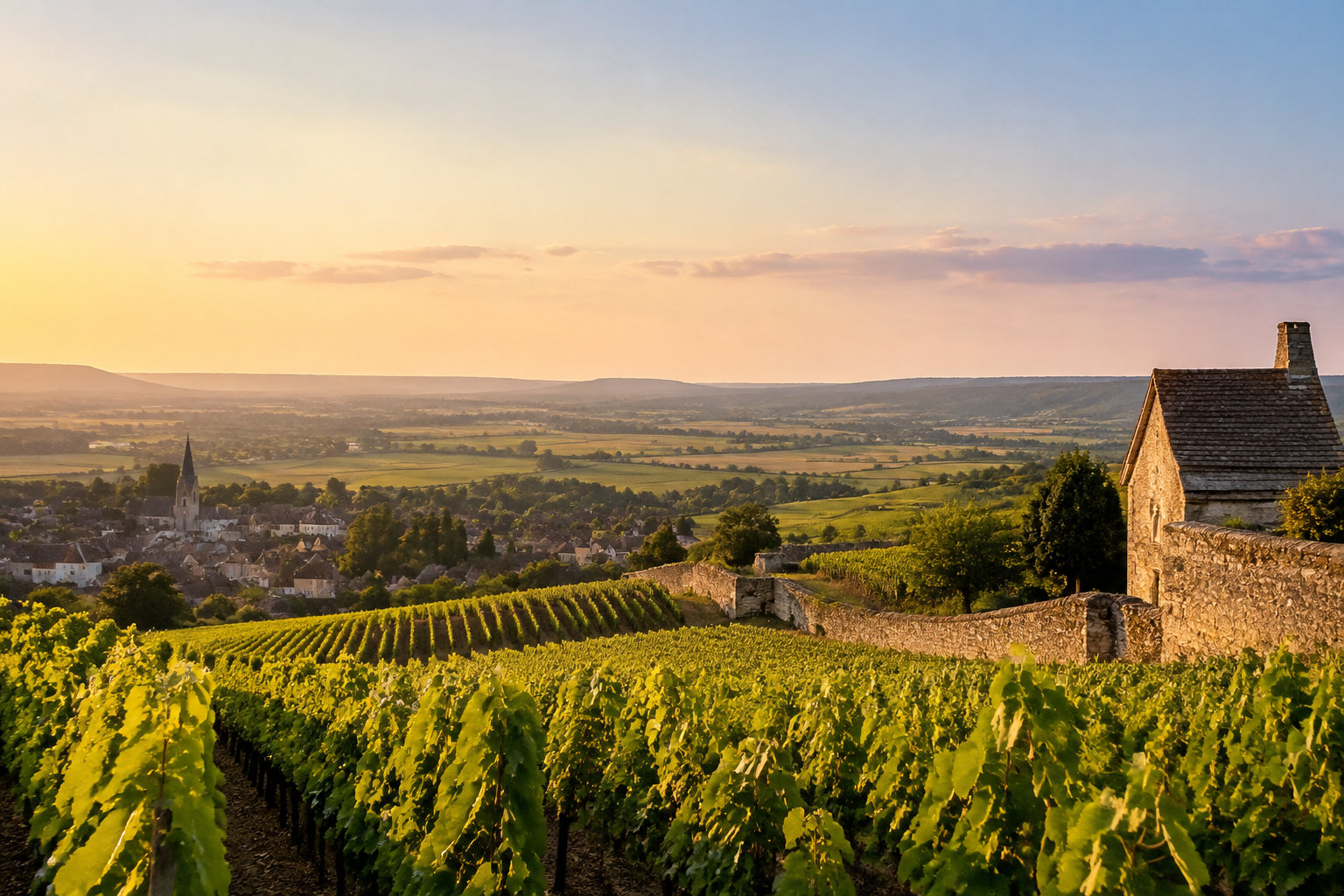
Open a Burgundy wine region map and it looks simple. Then the names start to blur. Which village sits north of which? Why does one slope taste so different from the next?
This guide puts the region in order, from north to south.
A Burgundy wine region map shows five distinct areas you cannot skip
The real luxury of travel is not what you see, but what you choose to leave unseen. Burgundy is not one seamless vineyard. It is a long, broken ribbon of terroirs. It runs about 230 kilometres, from Chablis to the Mâconnais.
Where Burgundy sits on the map
Burgundy lies in east-central France, between Paris and Lyon, spanning the Yonne, Côte-d’Or and Saône-et-Loire departments. Its vineyards cling to river valleys, limestone ridges and east-facing slopes. Forget the image of one endless plain.
From north to south, the territory runs from Chablis and the Châtillonnais down to the Mâconnais. The official overview map groups it into five areas:
- Chablis, Grand Auxerrois and Châtillonnais, the northern territories around Chablis, Auxerre and Châtillon-sur-Seine.
- Côte de Nuits and Hautes Côtes de Nuits, south of Dijon and north of Corgoloin.
The map anchors itself on Dijon, Beaune, Chalon-sur-Saône, Mâcon, the Saône, the Yonne, the Canal de Bourgogne and the Canal du Centre. That matters. Famous names mean nothing until you see their exact place on the slope.
Reading the official maps
The official overview map is downloadable and printable. It is a first orientation tool, nothing more. Separate maps then zoom into Chablis, the Côte de Nuits, the Côte de Beaune, the Côte Chalonnaise and the Mâconnais.
Print the overview map before you set off. Keep it in the car, where you will actually look at it, not in the suitcase.
A generic Burgundy map hides the detail that makes the region worth crossing France for. Bourgogne Maps goes plot by plot, down to the Climat and lieu-dit level.
Inside the detailed atlas
Bourgogne Maps covers 84 appellations, grouped into three levels and two geographical frameworks:
- Régionale AOCs: 7
- Village AOCs: 44
- Grand Cru AOCs: 33
- Geographical denominations within Bourgogne: 14
- Geographical denominations within Mâcon: 27
Burgundy’s five wine areas run north to south, and the wine changes with them
Burgundy rewards vertical thinking. Follow the map from north to south. Grape varieties, village names and wine styles change with the land.
The northern group: Chablis and beyond
The northern group has three parts:
- Chablis, in the Yonne department, around the Serein valley.
- The Grand Auxerrois, around Auxerre, Vézelay, Tonnerre and Joigny.
- The Châtillonnais, farther east and north, around Châtillon-sur-Seine.
The Côte d’Or: the golden central slope
The Côte d’Or is the golden central slope. It splits in two. The Côte de Nuits lies north. The Côte de Beaune lies south.
The Côte de Nuits runs north to south through these villages:
- Marsannay-la-Côte
- Fixin
- Gevrey-Chambertin
- Morey-Saint-Denis
- Chambolle-Musigny
- Vougeot
- Vosne-Romanée
- Nuits-Saint-Georges
This is Pinot Noir land at its most concentrated. Chardonnay appears in smaller amounts. The Côte de Nuits holds 24 of Burgundy’s 33 Grand Crus. Among them: Chambertin, Musigny, Clos de Vougeot and Romanée-Conti.
South of Corgoloin, the Côte de Beaune runs on. Its white identity grows stronger as you head south, though Pinot Noir stays essential.
The Côte de Beaune villages, from north to south:
- Ladoix-Serrigny
- Aloxe-Corton
- Savigny-lès-Beaune
- Beaune
- Pommard
- Volnay
- Meursault
- Puligny-Montrachet
- Chassagne-Montrachet
- the Maranges
Southern Burgundy: from the Côte Chalonnaise to the Mâconnais
The Côte Chalonnaise lies between the Côte de Beaune and the Mâconnais, around Chalon-sur-Saône. Its main village appellations are:
- Bouzeron
- Rully
- Mercurey
- Givry
- Montagny
The Couchois sits farther west, beyond the Canal du Centre. The Mâconnais marks Burgundy’s southern edge. It runs about 35 kilometres, from Sennecey-le-Grand to Saint-Vérand.
Chardonnay dominates here. Pinot Noir, Gamay and Aligoté add variety.
The Route des Grands Crus links Dijon with Santenay in a single strip of vines
The Route des Grands Crus is a vineyard corridor joining Dijon, Nuits-Saint-Georges, Beaune and Santenay:
- Length: 60 kilometres
- Villages: 37 wine villages
- Width: a narrow strip no more than about two kilometres wide
- Altitude: generally between 300 and 400 metres
Following the wine route
Start with the land. Vine rows stitch the folded hills in tidy lines. Dry-stone walls cleave the plots; old cellars wait inside the villages. Burgundy lays its geography bare, then lets you taste it in the glass.
Getting around
Between Dijon and Santenay, allow about 50 minutes on the A31. The slower D974 takes roughly 1 hour 15 minutes. The motorway is quick. The wine road is the real trip.
Choosing your base
For an elegant base, pick one of four towns along the route:
- Dijon: for the northern Côte de Nuits
- Nuits-Saint-Georges: for central access
- Beaune: for the Côte de Beaune
- Santenay: for the southern finish
From Beaune to Santenay, the Route des Grands Crus offers a route for walkers and cyclists, passing through Pommard, Meursault and Chassagne-Montrachet.
Before you pack the car, open the detailed atlas and trace your route plot by plot. Then decide which of the 84 appellations deserve your time. Burgundy hides its finest wines at the level of the Climat. Only a detailed map reveals their exact place.
Frequently asked questions
Is Beaujolais located in Burgundy?
Beaujolais lies south of the Mâconnais, mainly in the Rhône department, with a smaller area in Saône-et-Loire.
Some wine classifications link it to the wider Burgundy sphere, but most treat it as a separate region, built around Gamay.
How many appellations does Burgundy have?
Burgundy has 84 appellations in the atlas: 7 Regional, 44 Village and 33 Grand Cru.
This count covers only the Burgundy appellations in the atlas, not every designation across the wider Burgundy-Beaujolais area.
What does a Climat mean in Burgundy wine?
A Climat is a precisely named vineyard parcel with its own recognised identity, boundaries and wine character.
Burgundy’s maps show Climats and lieux-dits, bringing the region’s named vineyard plots into focus. Only a detailed atlas reveals the exact place of its finest wines.